Unlock Oju postal codes Secrets and Discover the Vibrant ZIP Codes in Benue Heartland 6 min read
Navigate Oju postal codes with ease and uncover zip codes of district details in Benue’s Lively Local Government Area. Oju’s postal codes range from 971108 to 972008, and it falls under the North Central Geopolitical Zone of Nigeria.
Now, if you need more specifics, I’ve got the details for you. Just let me know what you’re looking for, and I’ll help you find the right code for the right place.
District List
- Ito
- Uwokwu
Oju postal codes
Ito postal codes
| Place | Postal Code |
|---|---|
| Eewu | 971108 |
| Ochinabe | 971108 |
| Oyinyi | 971108 |
| Odeleko | 971108 |
| Ogwope | 971108 |
| Ukpuleru | 971108 |
| Ojegbe | 971108 |
| Okwumaye | 971108 |
| Ubeke | 971108 |
| Ikiriye | 971108 |
| Obigago | 971108 |
| Itogo | 971108 |
| Ijokwe | 971108 |
| Okpokwu | 971108 |
| Ijanke | 971108 |
| Oyinyi | 971108 |
| Any-Oko | 971108 |
| Udebor | 971108 |
| Oyenya | 971108 |
| Udegi | 971108 |
| Ogoro | 971108 |
| Ogilewu-Itogo | 971108 |
| Ojantile | 971108 |
| Akiraba | 971108 |
| Ojenya | 971108 |
| Ikandiye | 971108 |
| Okpirikwu | 971108 |
| Owo | 971108 |
| Ubele | 971108 |
| Oyinyi | 971108 |
| Ipinu-Adiko | 971108 |
| Ijegwu | 971108 |
| Echoro | 971108 |
| Odiapa | 971108 |
| Ugbodom | 971108 |
| Adega | 971108 |
| Anyichika | 971108 |
| Oha | 971108 |
| Igbegi | 971108 |
| Okukukwu | 971108 |
| Owo-Adum | 971108 |
| Oyenya | 971108 |
| Ojor | 971108 |
| Adum-East | 971108 |
| Ojor | 971108 |
| Obi | 971108 |
| Ogede | 971108 |
| Ito | 971108 |
| Ito | 971108 |
| Ukpuleru | 971108 |
| Ogoro | 971108 |
| Ogwope | 971108 |
| Ochenibe | 971108 |
| Okpirikwu-Adum | 971108 |
| Akunda | 971108 |
| Odiapa | 971108 |
| Ochibebe | 971108 |
| Ayoye | 971108 |
| Itakpa | 971108 |
| Adum West | 971108 |
| Odenyibo | 971108 |
| Iyaho | 971108 |
| Ito | 971108 |
| Okuntegbe | 971108 |
| Oyenya | 971108 |
| Okwumaye | 971108 |
| Iyaho | 971108 |
| Ijokwe | 971108 |
| Ukpuleru | 971108 |
| Ijanke | 971108 |
| Ukpuleru | 971108 |
| Ukpuleru | 971108 |
| Ukpuleru | 971108 |
| Oyinyi | 971108 |
| Ipinu-Adiko | 971108 |
| Irabi | 971108 |
| Oha | 971108 |
| Owo | 971108 |
| Ukpuleru | 971108 |
| Ipinu-Adiko | 971108 |
| Eewu | 971108 |
| Odeleko | 971108 |
| Odiapa | 971108 |
| Ogede | 971108 |
| Ogilewu-Itogo | 971108 |
| Ogoro | 971108 |
| Ogwope | 971108 |
| Ohehe | 971108 |
| Ohuma | 971108 |
| Ohuye | 971108 |
| Ojantile | 971108 |
| Ojegbe | 971108 |
| Ojenya | 971108 |
| Ojor | 971108 |
| Ojuwo | 971108 |
| Okpirikwu | 971108 |
| Okpirikwu-Adum | 971108 |
| Okpokwu | 971108 |
| Okukukwu | 971108 |
| Okuntegbe | 971108 |
| Okwubi | 971108 |
| Okwumaye | 971108 |
| Otokwe | 971108 |
| Owo | 971108 |
| Owo-Adum | 971108 |
| Oye-Obi | 971108 |
| Oyinyi | 971108 |
| Ubeke | 971108 |
| Ubele | 971108 |
| Udebor | 971108 |
| Udegi | 971108 |
| Ugbodom | 971108 |
| Ukpuleru | 971108 |
| Ukpute | 971108 |
| Utugboji | 971108 |
| Yeshewe | 971108 |
Uwokwu postal codes
| Place | Postal Code |
|---|---|
| Idele | 971107 |
| Ogege | 971107 |
| Ikori | 971107 |
| Uje | 971107 |
| Inyuma | 971107 |
| Ikoku | 971107 |
| Uda | 971107 |
| Ekpete | 971107 |
| Ojokwe | 971107 |
| Ibalakum | 971107 |
| Obaogede | 971107 |
| Ogaka | 971107 |
| Iyator | 971107 |
| Udogwu | 971107 |
| Ojokwe | 971107 |
| Igbilla | 971107 |
| Orihi | 971107 |
| Alloma | 971107 |
| Uwokwu | 971107 |
| Enurn | 971107 |
| Obaogede | 971107 |
| Okwurum | 971107 |
| Ogege | 971107 |
| Enugu-Oye | 971107 |
| Uje | 971107 |
| Ikori | 971107 |
| Egbilla-Idella | 971107 |
| Igbegi | 971107 |
| Ubeke | 971107 |
| Igbella | 971107 |
| Owori-Ipinu | 971107 |
| Okekpo | 971107 |
| Oyorongo | 971107 |
| Oyenya | 971107 |
| Ekpete | 971107 |
| Adodo | 971107 |
| Ifator | 971107 |
| Itakeni | 971107 |
| Ogori | 971107 |
| Irachi | 971107 |
| Obiladun | 971107 |
| Ubeke | 971107 |
| Iyokolo | 971107 |
| Okwurum | 971107 |
| Ikatakwe | 971107 |
| Iyokolo | 971107 |
| Odenigbo | 971107 |
| Odenigbo | 971107 |
| Ifator | 971107 |
| Ojokwe | 971107 |
| Oyinyi | 971107 |
| Ogyo | 971107 |
| Ogege | 971107 |
| Ubeke | 971107 |
| Arigede | 971107 |
| Otukpo-Oye | 971107 |
| Orihi | 971107 |
| Itafor | 971107 |
| Adega | 971107 |
| Iyokolo | 971107 |
| Ogyo | 971107 |
| Itakeni | 971107 |
| Igbegi | 971107 |
| Obaogede | 971107 |
| Ogyo | 971107 |
| Ogori | 971107 |
| Igbegi | 971107 |
| Ubeke | 971107 |
| Ukpuleru | 971107 |
Postal Facility
Oju Ost 972008
Benue Other Codes
- Ohimini
- OkpoKwu
- Otukpo
- Tarka
Frequently Asked Questions
Which district is in OJU local government?
Oju Local Government Area is proudly situated in the heart of Benue State, Nigeria. It is divided into two vibrant districts: Igede Central (Oju I) and Uwokwu (Oju II) district/state constituencies.
What is Khana LGA postal code?
In Khana Local Government Area, you can use the following postal codes for different locations:
- Bass – Luekun: 502102
- Beakoro – Beeri: 502102
- Beam: 502102
- Bebbe Court: 502102
What is the postal code for ITU LGA?
If you’re in Itu Local Government Area, the postal code for various locations is:
- Ikot Ukpo Itu: 520108
- Obot Etim: 520108
- Obot Itu: 520108
- Odu Itu: 520108
What is the postal code for Ojuelegba?
For Ojuelegba Road in Lagos, the postal code is 101283.
Which state is Oju?
Oju is a vibrant local government area nestled in the picturesque landscapes of Benue State, Nigeria.
Which local government is Oghara under?
Oghara is proudly located in Ethiope West, a dynamic Local Government Area in Delta State, Nigeria. The headquarters are in the lively town of Oghara Town, boasting an area of 536 km² and a population of 203,592 as of the 2006 census. The postal code for this area is 331.
When was Obi LGA created?
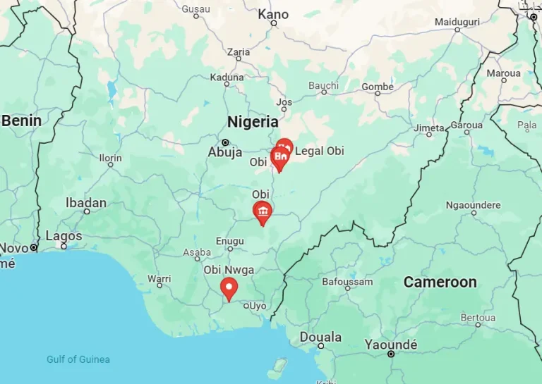
Obi Local Government Area came into existence on October 1, 1996. It emerged from the former Oju local government, drawing its name from the majestic River Obi that flows through its length and breadth.
What is the history of Oju local government?
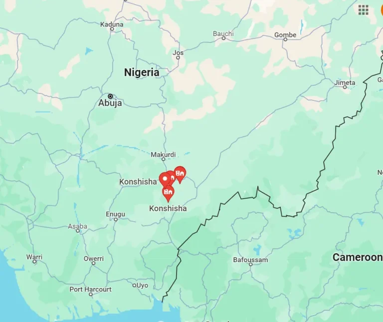
The vibrant Oju Local Government Area was established in 1976. It shares its boundaries with Obi, Ado, Konshisha, and Gwer East local government areas in Benue State. It also neighbors Ebonyi and Izzi local government areas in Ebonyi State, as well as Yala local government area in Cross River State.
What is the local government reform of 1976?
In 1976, a significant local government reform, led by the military administration of General Obasanjo, brought about a uniform administrative structure. This reform introduced a multi-purpose, single-tier local government system across the entire country.
Is area code a postal code?
Area codes and postal codes serve different purposes. Area codes are used for specifying a geographical region when calling a phone number, while zip codes and postal codes are numerical codes facilitating mail delivery.
What is your zip or postal code?
Your Zip Code is crucial for determining the precise location for mail delivery. Similarly, a Postal Code, composed of numbers or a combination of numbers and letters, assists postal departments and courier services in delivering mail to the exact place and region.
How digit is postal code?
A postal code typically consists of a 5-digit number that identifies a specific postal delivery area in the United States.
Which postal code is 500001?
The postal code 500001 corresponds to the GPO Facility in Port Harcourt, Nigeria.
What is a postcode area sector district?
A postcode sector is a combination of a postcode area, a postcode district, and a single character indicating the location’s inward code. For example, ‘SW1A 0’ is a sector made up of ‘SW,’ indicating South West London.
What cities are in postcode GL?
The GL postcode area covers various cities in Gloucestershire, including Gloucester, Cheltenham, Stroud, Cirencester, Tewkesbury, Badminton, Berkeley, Blakeney, Chipping Campden, Cinderford, Coleford, Drybrook, Dursley, Dymock, Fairford, Lechlade, Longhope, Lydbrook, Lydney, Mitcheldean, Moreton-in-Marsh, Newent, Newnham, Ruardean, Stonehouse, and more.
Where is the headquarters of Khana LGA?
The administrative headquarters of Khana Local Government Area is located in the vibrant town of Bori.
What is postal code of Rahim Yar Khan?
The postal code of Rahim Yar Khan is 64200.
What is the postal code of Kabba?
The postal code of Kabba is 261101.
Is Oghara a village or town?
Oghara is a bustling town situated in the Ethiope West Local Government Area of Delta State, Nigeria.
What is the full name of Oghara Poly?
The full name of the institution is Delta State Polytechnic, Otefe-Oghara. It was established through a bill signed into law by Governor James Onanefe Ibori in November 2002.
How big is Oghara?
Oghara occupies an expansive area of 1175 km² within the tropical rainforest belt in the South-South geographical zone of Nigeria.
What is the head quarter of Obi?
Obi Local Government Area’s administrative headquarters is situated in Obarike-Ito, Benue State, Nigeria.
