Discover Ogbadibo Postal Codes in Benue State Nigeria in 20247 min read
Explore Ogbadibo Postal Codes in Benue State Nigeria, with a Comprehensive Guide to Districts and locations lies the picturesque local government area of Ogbadibo, located within the North Central Geopolitical Zone, this region boasts a range of postal codes that define its districts and locations. Discover the essence of this community, where every number tells a story and each code is a gateway to a unique corner of Benue’s heartland.

District List
- Orokam
- Otukpa
- Owukpa
Ogbadibo ZIP Codes
| Place | Postal Code |
|---|---|
| Orokam | 973104 |
| Adum-Oko | 973104 |
| Ai-Ona | 973104 |
| Efoma | 973104 |
| Ejema | 973104 |
| Enyajuru | 973104 |
| Ibiladu | 973104 |
| Ikemu | 973104 |
| Imeyi | 973104 |
| Ipole-Adupi | 973104 |
| Ipole-Ako | 973104 |
| Ipole-Iyiru | 973104 |
| Ipole-Oko | 973104 |
| Itesi | 973104 |
| Leke | 973104 |
| Obenda | 973104 |
| Ocheje | 973104 |
| Ogwurute | 973104 |
| Okparigbo | 973104 |
| Olaigbena | 973104 |
| Ole-Igwu | 973104 |
| Oleche | 973104 |
| Orokam | 973104 |
| Oture | 973104 |
| Ugbagba-Ako | 973104 |
| Ugbogidi | 973104 |
| Ukalegu-Igwu | 973104 |
| Ukporo | 973104 |
Otukpa postal codes
| Place | Postal Code |
|---|---|
| Otukpa | 973105 |
| Abache | 973105 |
| Abo | 973105 |
| Adepe | 973105 |
| Adum | 973105 |
| Agbafu | 973105 |
| Ago | 973105 |
| Aikwu | 973105 |
| Akpagidigbo | 973105 |
| Alagiranu | 973105 |
| Ari-Engweewu | 973105 |
| Court-Otukpa | 973105 |
| Ebari | 973105 |
| Ebudu | 973105 |
| Efeche | 973105 |
| Efekwo | 973105 |
| Effion | 973105 |
| Efocho | 973105 |
| Efugo | 973105 |
| Eha-Otukpa | 973105 |
| Eke-Ekwute | 973105 |
| Epe-Agbo | 973105 |
| Epeilo | 973105 |
| Epeilo-Ikpoyi | 973105 |
| Idede | 973105 |
| Idiri | 973105 |
| Idodoloko | 973105 |
| Ijadoja | 973105 |
| Ikregi | 973105 |
| Ipichicha | 973105 |
| Ipiga | 973105 |
| Ipole Abo | 973105 |
| Ipu-Ugbogbo | 973105 |
| Ipuchicha | 973105 |
| Obuh | 973105 |
| Oda | 973105 |
| Odoba | 973105 |
| Odwebe | 973105 |
| Ofojo | 973105 |
| Ogaje | 973105 |
| Ogene | 973105 |
| Ogonkwu | 973105 |
| Okoncheta | 973105 |
| Olabekpa | 973105 |
| Olachagbaha | 973105 |
| Oladu | 973105 |
| Olagwuche | 973105 |
| Olamago | 973105 |
| Oloche | 973105 |
| Onchegbi | 973105 |
| Orido | 973105 |
| Oto | 973105 |
| Otukpa | 973105 |
| Owoso | 973105 |
| Ubiegi | 973105 |
| Udegi | 973105 |
| Ugbamaka | 973105 |
| Ugbogwu | 973105 |
| Ugbokpo | 973105 |
| Ukwo | 973105 |
| Umarichi | 973105 |
| Zaria | 973105 |
Owukpa postal codes
| Place | Postal Code |
|---|---|
| Owukpa | 973103 |
| Adu | 973103 |
| Agira | 973103 |
| Aiede | 973103 |
| Aifam-Centre | 973103 |
| Aiji | 973103 |
| Alagarunu | 973103 |
| Amejo | 973103 |
| Anchimodo | 973103 |
| Ankpa | 973103 |
| Annachowga | 973103 |
| Atamaka | 973103 |
| Ati | 973103 |
| Ebanna | 973103 |
| Ebela | 973103 |
| Ede | 973103 |
| Eha-Uleke | 973103 |
| Ehicho | 973103 |
| Ehuhu | 973103 |
| Ejaa | 973103 |
| Ejule | 973103 |
| Eke | 973103 |
| Eke-Ai odu | 973103 |
| Eke-Akpa | 973103 |
| Elugu | 973103 |
| Epiege | 973103 |
| Eru | 973103 |
| Eyere | 973103 |
| Eyupi | 973103 |
| Ibagba | 973103 |
| Ibiti | 973103 |
| Idogobe | 973103 |
| Iga-Uroko | 973103 |
| Ikwo | 973103 |
| Ipole | 973103 |
| Ipole-Aitan | 973103 |
| Ipole-Aiuja | 973103 |
| Ipole-Ekere | 973103 |
| Ipole-Owukpa | 973103 |
| Iwewe | 973103 |
| Iwewe-Aiodu | 973103 |
| Oderigbo | 973103 |
| Ogbata | 973103 |
| Ogbonoko | 973103 |
| Ogichigodi | 973103 |
| Ogwurutee | 973103 |
| Okpoto | 973103 |
| Okpudu | 973103 |
| Olempe-Ogicho | 973103 |
| Oma | 973103 |
| Onyirada | 973103 |
| Owukpa | 973103 |
| Owuruwuru | 973103 |
| Ubafu | 973103 |
| Ubenjira | 973103 |
| Ubono | 973103 |
| Ugbokpo | 973103 |
| Ugbugbu | 973103 |
| Ukalegwu | 973103 |
| Uko | 973103 |
| Uleke | 973103 |
| Umafu | 973103 |
Postal Facility
Orokam 972006
Benue Other Codes
- Obi
- Ohimini
- Oju
- Okpokwu
Frequently Asked Questions
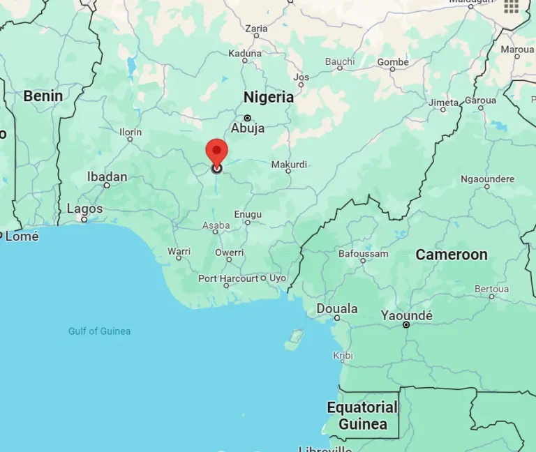
Where is Ogbadibo LGA of Benue State?
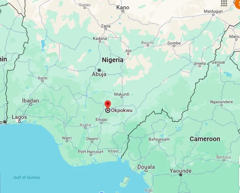
Ogbadibo is a serene Local Government Area tucked in the heart of Benue State, North Central Nigeria. It boasts three distinct districts: Orokam, Owukpa, and Otukpa. The administrative hub, Otukpa Town, proudly serves as the beating heart of this local community.
What is the postal code for ITU LGA?
- Ikot Ukpo Itu: 520108
- Obot Etim: 520108
- Obot Itu: 520108
- Odu Itu: 520108
What is Khana LGA postal code?
- Bass – Luekun: 502102
- Beakoro – Beeri: 502102
- Beam: 502102
- Bebbe Court: 502102
What is the postal code of APA LGA?
- Obuleha: 972107
- Oiji: 972107
- Olete: 972107
- Ochenmo: 972107
What senatorial district is Ogbadibo?
Ogbadibo resides within the embrace of the Benue South Senatorial District, a sprawling expanse covering Ado, Agatu, Apa, Obi, Ogbadibo, Ohimini, Oju, Okpokwu, Otukpo, and Gboko.
Which LGA is Ikate?
Ikate emerges as a vibrant residential suburb nestled in Eti-Osa Local Government, Lagos State, gracefully lining the Lekki-Epe expressway.
What is a postcode area sector district?
A postcode sector is the intricate combination of a postcode area, a postcode district, and a single character that unveils the location’s inward code. Think of it as a geographical fingerprint, such as ‘SW1A 0,’ where ‘SW’ signifies the charming realm of South West London.
Behold the GPO Facility in the picturesque Port Harcourt.
What cities are in postcode GL?
The enchanting postcode GL unfolds over Gloucestershire, weaving its charm through Gloucester, Cheltenham, Stroud, Cirencester, Tewkesbury, Badminton, Berkeley, Blakeney, Chipping Campden, Cinderford, Coleford, Drybrook, Dursley, Dymock, Fairford, Lechlade, Longhope, Lydbrook, Lydney, Mitcheldean, Moreton-in-Marsh, Newent, Newnham, Ruardean, and Stonehouse.
What is the postal code of Kabba?
Dive into the vibrant tapestry of Kabba with the eloquent code 261101.
What is the postal code for Apapa Road?
Discover the rhythm of Apapa Rd., Lagos, through the harmonious postcode – 101212.
Which senatorial district is Ogbia in?
Embark on a journey through the Bayelsa East Senatorial District in Bayelsa State, Nigeria, embracing the three local government areas of Brass, Ogbia, and Nembe. Witness the district’s pulsating heart in Brass.
Which LGA is Idimu?
Wander into Alimosho Local Government Area, Lagos State, where Idimu unfolds as a cherished suburb, residing east of Isheri Olofin and south of Oduwole, and Ikotun.
Which local government is Ogba under?
Let the spotlight shine on Ogba, the bustling heart of Ikeja. Nestled about five kilometers west of Ikeja, it gracefully falls under the Ojodu Local Council Development Area.
Which LGA is Akoka?
Local Government unfolds, weaving through Community Road, Akoka, and extending east of Ikorodu road up to Anthony Oke side interchange. This includes the vibrant realms of Somolu, Bashua, Bariga, Akoka, Igari, Obanikoro, Pedro village, Abule Okuta, Seriki village, Apelehin, and Ilaje.
How big is a postcode?
Unlock the wonders of postcodes, variable in length and ranging from six to eight characters (including a space). Picture each postcode as a delicate dance between the outward code and the inward code, gracefully separated by a single space.
How many addresses in a postcode?
Delve into the world of unit postcodes, where a single small user postcode can cradle up to 100 addresses, with 15 being the more typical number.
What is a postcode prefix?
Embark on a journey through the 124 Postcode areas, each bearing its own alpha digits, chosen as the area it proudly represents. Feel the pulse of Birmingham with “B,” embrace the spirit of Milton Keynes with “MK,” and surrender to the allure of Slough with “SL.” The wonders unfold, excluding the Falklands and other Armed Forces Postcodes.
What role does a postcode play in an address?
In constructing a comprehensive address, it’s crucial to include a premise identifier, street details, post town, and the postcode. Among these elements, the postcode stands out as the most vital, carrying substantial information.
How many lines should an address ideally have?
For optimal clarity, addresses are recommended to be written in all uppercase letters. It’s advisable to keep addresses concise, ideally with no more than five lines.
Under what circumstances can a postcode be altered?
Postcodes undergo changes only under exceptional circumstances, typically driven by operational necessities. Residents can propose changes, but substantial evidence supporting the consensus of all affected parties is essential. Further details can be explored in Royal Mail’s Code of Practice.
What does a unit postcode represent in relation to a street?
A unit postcode serves as a descriptor for a street or a segment thereof, a single address, a cluster of properties, a subsection of a property, or an individual entity within an organization.
How is a postal code utilized in mail delivery?
A postal code, comprised of specific numbers and sometimes letters, plays a pivotal role in facilitating mail delivery. Particularly in the United States, a five-digit Zip Code is crucial for ensuring the accurate delivery of packages, as it identifies a specific postal delivery area.
What is the hierarchical system behind the functioning of postcodes?
Postcodes operate within a hierarchical system, moving from left to right. The initial letter or pair of letters signifies the area, followed by digits representing the district within that area. This hierarchical structure continues, with each postcode typically corresponding to a street, a section of a street, or an individual premise.